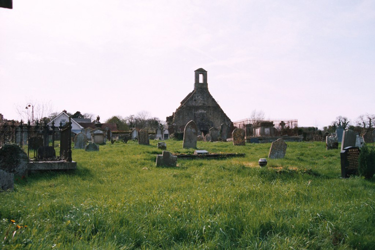
Loughgall Old Churchyard
- Country United Kingdom
- Total identified casualties 2 Find these casualties
- Region County Armagh
- Identified casualties from First World War
- GPS Coordinates Latitude: 54.40973, Longitude: -6.60197
History information
The churchyard, five miles North-East of Armagh, is entered through the ruins of a Church built in 1641. It belongs to St. Luke's Church. There are 2 Commonwealth burials of the 1914-1918 war here.